Scan-to-BIM & Building Scanning
Plan changes to an existing building with a model of what is actually there.
The challenge
Old drawings may not reflect the building your team is working in. Missing dimensions and undocumented changes make it harder to coordinate a renovation, prepare a bid, or order materials.
How we help
Start from measured building conditions.
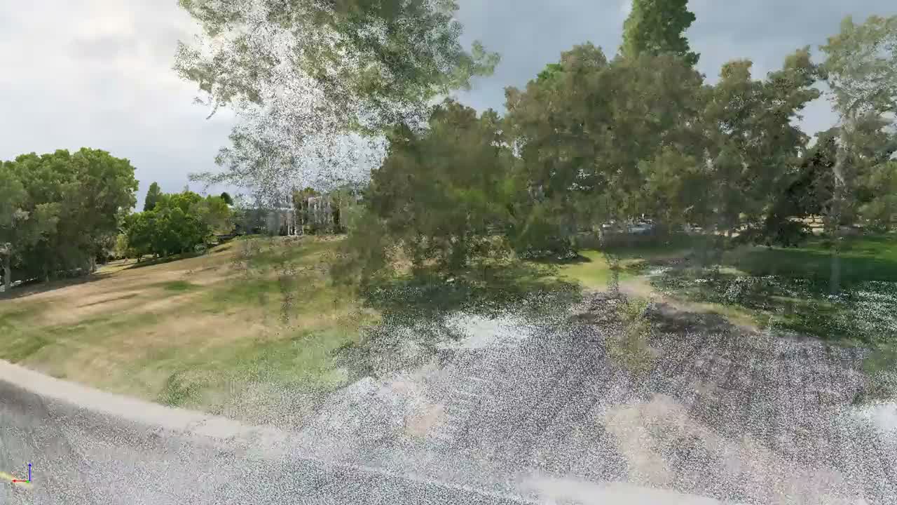
Povey & Associates scans existing buildings with a NavVis MLX handheld LiDAR scanner and turns the captured point cloud into a Revit as-built model. Your architects, engineers, and contractors can use the same measured reference to plan and coordinate their work.
Our NavVis MLX scanner tracks its position as we walk the building, capturing interior and exterior conditions for a point cloud and Revit model.
From Scan to Revit Model
Three steps between the first walk-through and a model your team can work in
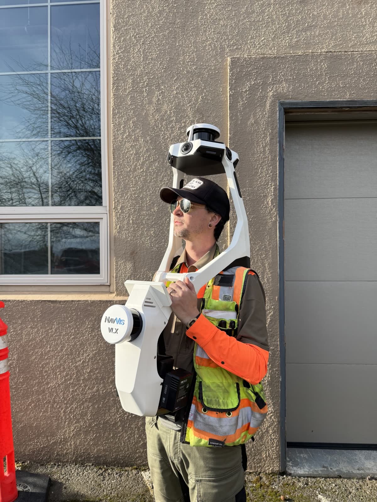
1.Scan the Building
We walk the building with the NavVis MLX. SLAM keeps track of where the scanner is, so mechanical rooms, ceilings, corridors, and facades are captured as we go. We can cover up to 40,000 square feet of interior in a single day.
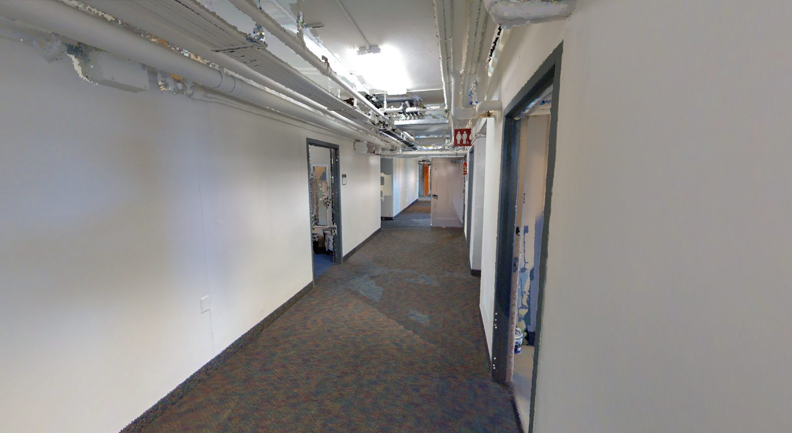
2.Build the Point Cloud
The scans are registered into one point cloud of millions of measured points, usually within hours. Pipes, ducts, beams, conduit, and walls show up where they actually are.
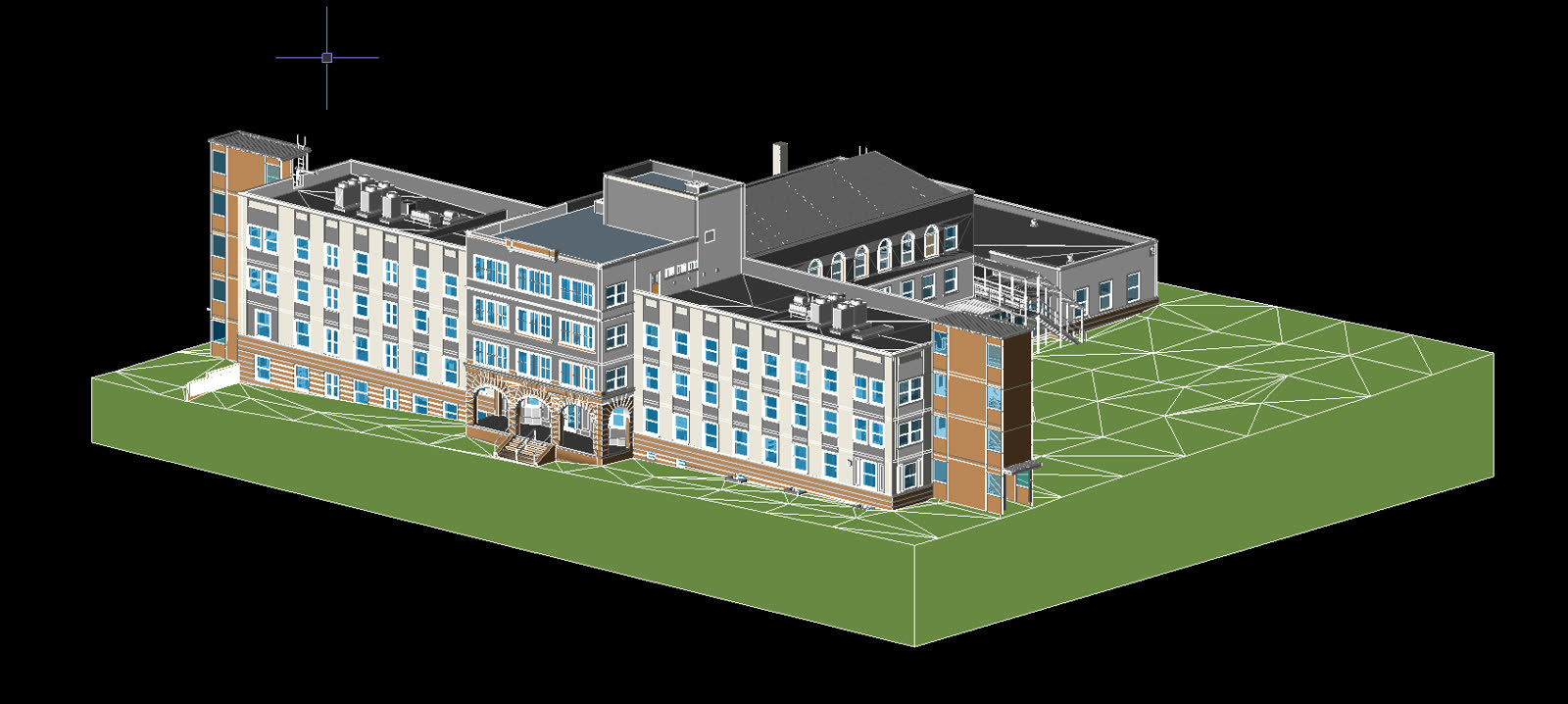
3.Model It in Revit
We convert the point cloud into a 3D model in Autodesk Revit. You get an as-built BIM you can measure, design against, and share with your engineers and contractors.
Who Uses Scan-to-BIM
The trades and professions that need to know what is already there
Architects and Civil Engineers
Retrofit and remodel planning from a model of the building as it stands today.
Mechanical, Electrical, and Plumbing Contractors
Fire sprinkler, electrical, plumbing, HVAC, and IT contractors bid from measured conditions instead of old drawings.
Finish Contractors
Millwork, window treatments, and interior systems, with dimensions confirmed before anything is fabricated.
Restoration Contractors and Insurance Professionals
Pre-loss and post-loss documentation of a structure, captured in one visit.
What That Means on a Project
Faster Decisions
Data is processed in hours instead of days or weeks, so decisions do not stall waiting on drawings.
Fewer Field Surprises
Designs are tested against the model before the first crew arrives. Conflicts get found on screen instead of on site.
One Shared Model
Field teams, office staff, engineers, and contractors work from the same model at the same time.
What You Get
Benefits
- More accurate surveys of existing conditions
- Designs tested on the model before construction
- New elements fitted to real-world dimensions
- Up to 40,000 square feet of interior scanned in a day
- Data processed within hours
- Delivered as IFC, RVT, and DWG files, so you get the 3D model and 2D drawings in the formats your team already uses
Efficiencies
- Tolerances of a millimeter or less
- Field, office, engineering, and contractor teams share one model in the cloud
- Works in industrial utilities, high-rise structures, and difficult environments
- Traffic plans through narrow corridors
- Detailed models of ecological conditions
Scans and Models from Recent Projects
Scans and models from recent projects. The clips are silent; press play.
Point Cloud to BIM Model
The scanned interior as a point cloud, then the same space as the finished BIM model. This is how the raw scan becomes a model your team can work in.
Aerial and Handheld LiDAR, Combined
Drone LiDAR captures the outside of the building and the NavVis MLX captures the inside. The two scans are joined into one point cloud you can fly through.
Campus Model Turntable
The full campus 3D model, built from LiDAR scans and drone imagery, turning through a full rotation.
Frequently Asked Questions
Common questions about building scanning and Scan-to-BIM
Explore Our Other Services
Talk to Us About Your Project
Commercial remodel, infrastructure upgrade, or a complex build in a tough environment: we have the equipment and the local knowledge to deliver data you can build on.