Energy Surveying
Understand the land before you commit to a site or route.
The challenge
A promising site or a line on a map may hide steep ground, unclear boundaries, or access limitations. Discovering those constraints after design starts can force expensive changes.
How we help
Map the constraints before design advances.
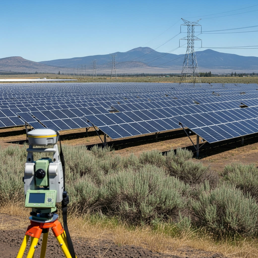
Povey & Associates surveys terrain, property boundaries, and utility corridors, and maps recorded easements and access features. Ground surveys and drone mapping give your engineers a measured base for comparing routes, planning a solar or wind site, and identifying the land needed for the project.
Services for Energy
Surveying solutions tailored to energy projects
Land Surveying
Establish boundaries, document recorded easements, and map the corridor or site your engineers are evaluating.
Explore Land SurveyingDrone Services
Capture terrain and elevation data across a site or corridor to support route comparisons, grading plans, and access planning.
Explore Drone ServicesEnergy FAQs
Bring us the site or corridor you are considering.
Share the project area, proposed use, and current planning stage. We will help identify the survey information your design team needs next.