Land Surveying
Know the boundaries and site conditions before your next property decision.
The challenge
A fence, a drawing, and a property description do not always tell the same story. Before you build, buy, or design, you need to understand what is on the ground and where the boundaries are.
How we help
Turn property questions into clear survey information.
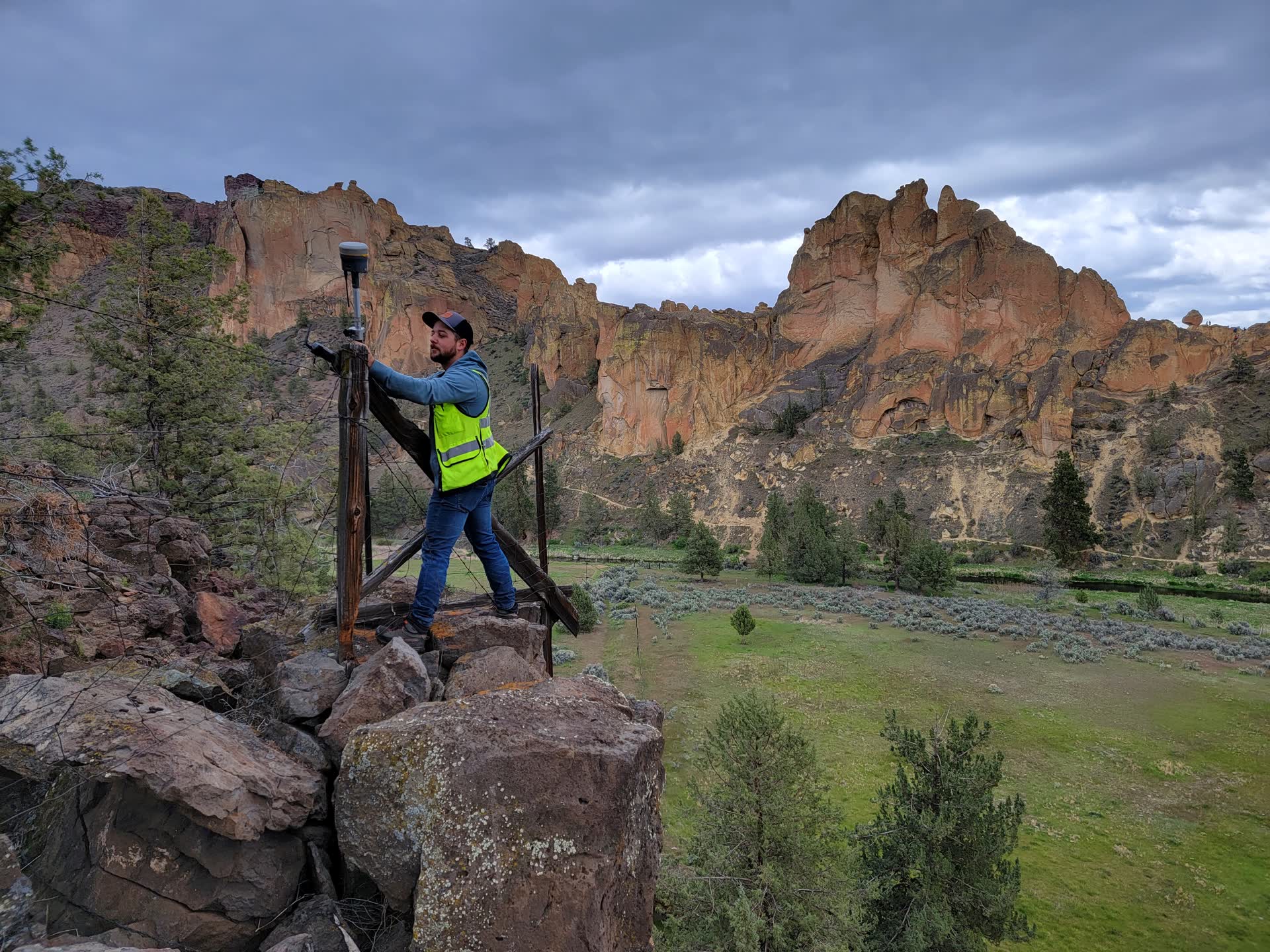
Povey & Associates researches records, finds survey evidence, and measures your site. We establish boundaries and document existing conditions so your contractor, designer, lender, or real estate team has the information needed for the next step.
Serving Central Oregon since 1927, our licensed professional land surveyors use Trimble R10 GPS and Robotic Total Station equipment for field measurements.
Survey work for your next step.
Boundary, topographic, and ALTA/NSPS surveys, supported by records research and field measurements.
Boundary Surveys
Establish your exact property lines with recorded monuments. Essential for building, fencing, or selling.
Topographic Surveys
Map existing features and elevation changes for construction planning, site design, and engineering.
ALTA/NSPS Surveys
Comprehensive surveys meeting national lender standards for commercial real estate transactions.
Right-of-Way Determination
Identify public and private access rights for road projects, utility corridors, and easements.
Encroachment Resolution
Determine if structures, fences, or improvements cross property lines and document the findings.
Adverse Possession Mediation
Navigate Oregon's adverse possession laws and help resolve long-standing boundary claims.
Frequently Asked Questions
Common questions about land surveying services
Explore Our Other Services
Drone Services
Aerial mapping and photogrammetry using advanced WingtraOne technology.
Need a Land Survey?
Contact us today for a consultation and free estimate.