Municipal & Government Surveying
Give your public works team dependable site information before design and bidding.
The challenge
You are coordinating designers, property owners, and a public budget. Gaps in site records or right-of-way information can surface late as redesigns or change orders.
How we help
Resolve site questions before work goes out to bid.
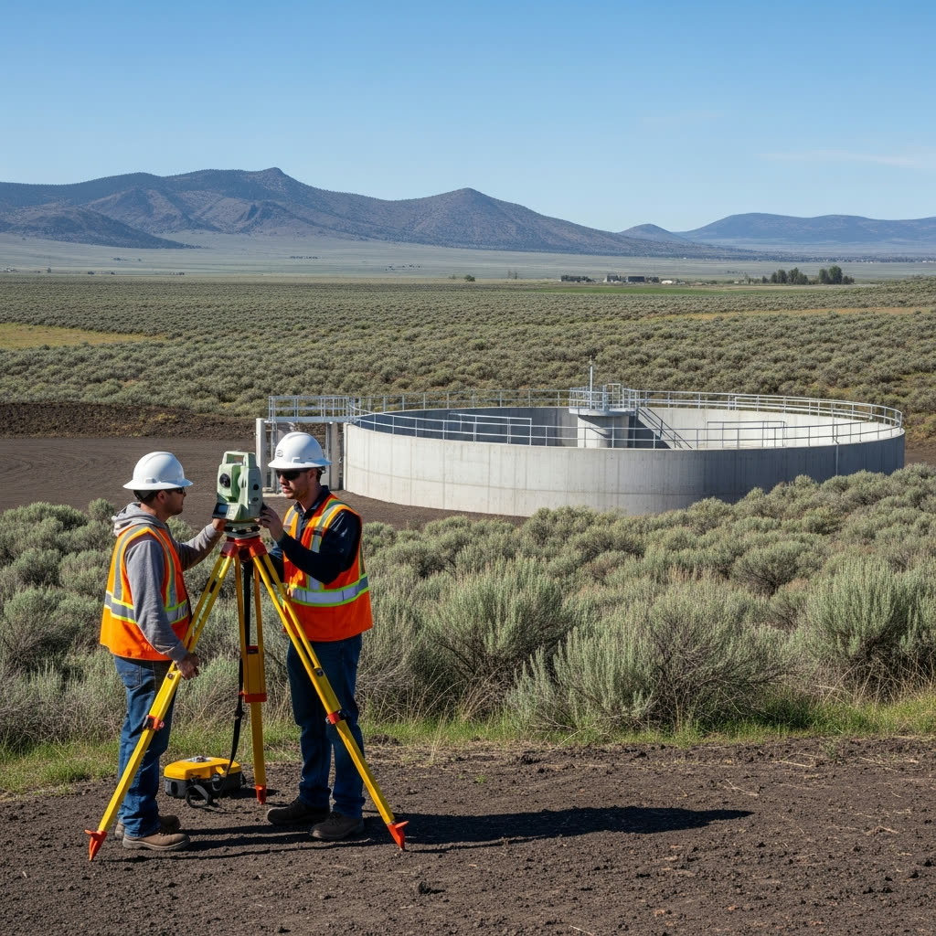
Povey & Associates surveys existing conditions, property boundaries, and rights-of-way for public projects. We provide mapping and survey documentation your engineers and agency staff can use through planning, acquisition, and construction, and help document the work that is built.
Services for Municipal & Government
Surveying solutions tailored to municipal & government projects
Land Surveying
Establish site conditions, boundaries, and rights-of-way for public works design and acquisition planning.
Explore Land SurveyingDrone Services
Map roads, corridors, and larger sites so your project team can evaluate terrain and track construction progress.
Explore Drone ServicesConsulting & Mediation
Clarify boundary and access questions with survey evidence that helps agency staff and property owners work through the issues.
Explore Consulting & MediationScan-to-BIM
Capture existing public buildings and facilities in a measured model for renovation design and coordination.
Explore Scan-to-BIMMunicipal & Government FAQs
Start with the project scope and schedule.
Share the project limits, available plans, required deliverables, and procurement timeline so we can discuss the survey work your team needs.