Our Central Oregon Story
Nearly a century of shaping the landscape of Central Oregon.
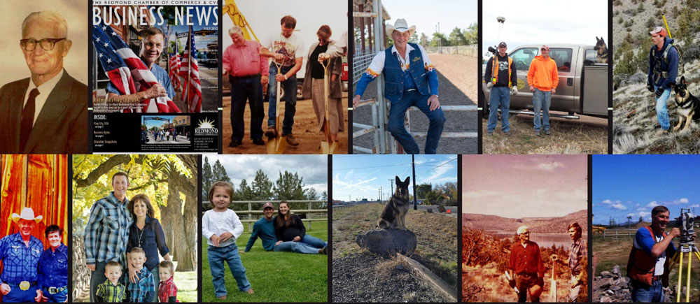
Our Legacy
Founded in 1927 by Ellithorpe Garrett “Al” Mansfield, Povey & Associates Land Surveyors has played a vital role in shaping Central Oregon. Mr. Mansfield managed the Central Oregon Irrigation District for 30 years and served as a Union Oil Representative. His deep commitment to the region laid the foundation for a company that has endured and thrived.
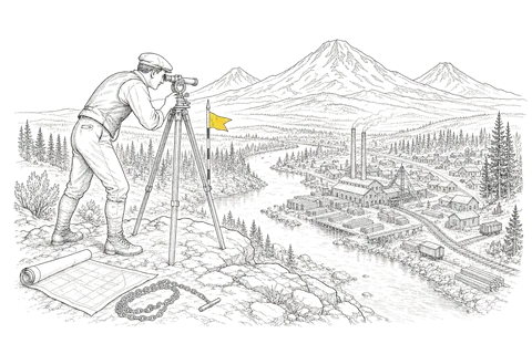
When Bend was transforming from a frontier town to a lumber boomtown, our surveyors were there — helping establish property lines for new neighborhoods and businesses as the Brooks-Scanlon and Shevlin-Hixon mills shaped the economy.
Randy Povey started with his grandfather as a part-time surveyor while still in high school. He took over the firm in 1979 and formed a partnership with Bill Bahrke, both Oregon Registered Professional Land Surveyors. That partnership carried the firm through the 1980s, when it became the only local surveying firm to survive the downturn. In 2016 the partnership grew again when Randy's sons, Paul and Roy Povey, were made partners.
Povey & Associates is the only local surveying firm to have survived the 1980s recession — a testament to the quality and trust our clients place in us.
Nearly a Century in the Field
From a transit on the rim above Bend to a laser scanner inside your building.
-
1927
Founded in Bend
Ellithorpe Garrett "Al" Mansfield, who also managed the Central Oregon Irrigation District for 30 years, establishes the firm as Bend grows from a frontier town into a lumber boomtown.
-
1979
Randy Povey and Bill Bahrke Take the Reins
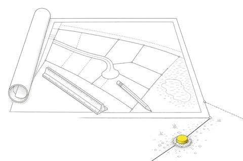
Randy Povey, who started with his grandfather as a part-time surveyor in high school, takes over the firm and forms a partnership with Bill Bahrke. Both are Oregon Registered Professional Land Surveyors, and their partnership carries the firm for the next four decades.
-
1980s
Through the Recession
Povey & Associates becomes the only local surveying firm to come through the downturn, on the strength of client trust.
-
2002
A Third Generation
Paul Povey joins the firm, the third generation of family leadership.
-
2016
New Partners, New Tools
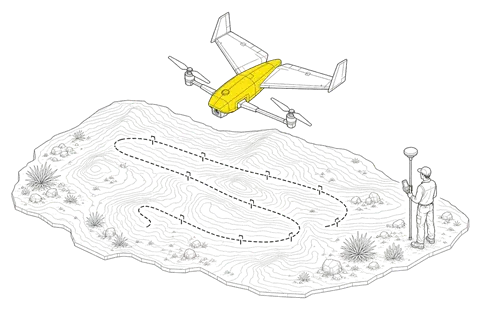
Paul and Roy Povey are made partners, and the firm expands into aerial surveying with FAA-certified drone operations.
-
2022
Expanded UAV Operations
Thomas McNeight joins as Head of UAV Operations, bringing remote sensing and GIS expertise.
-
2026
Scan-to-BIM
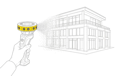
LiDAR building scans delivered as Revit models bring the same precision indoors.
Technology Meets Tradition
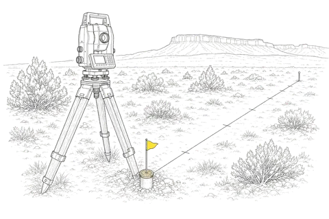
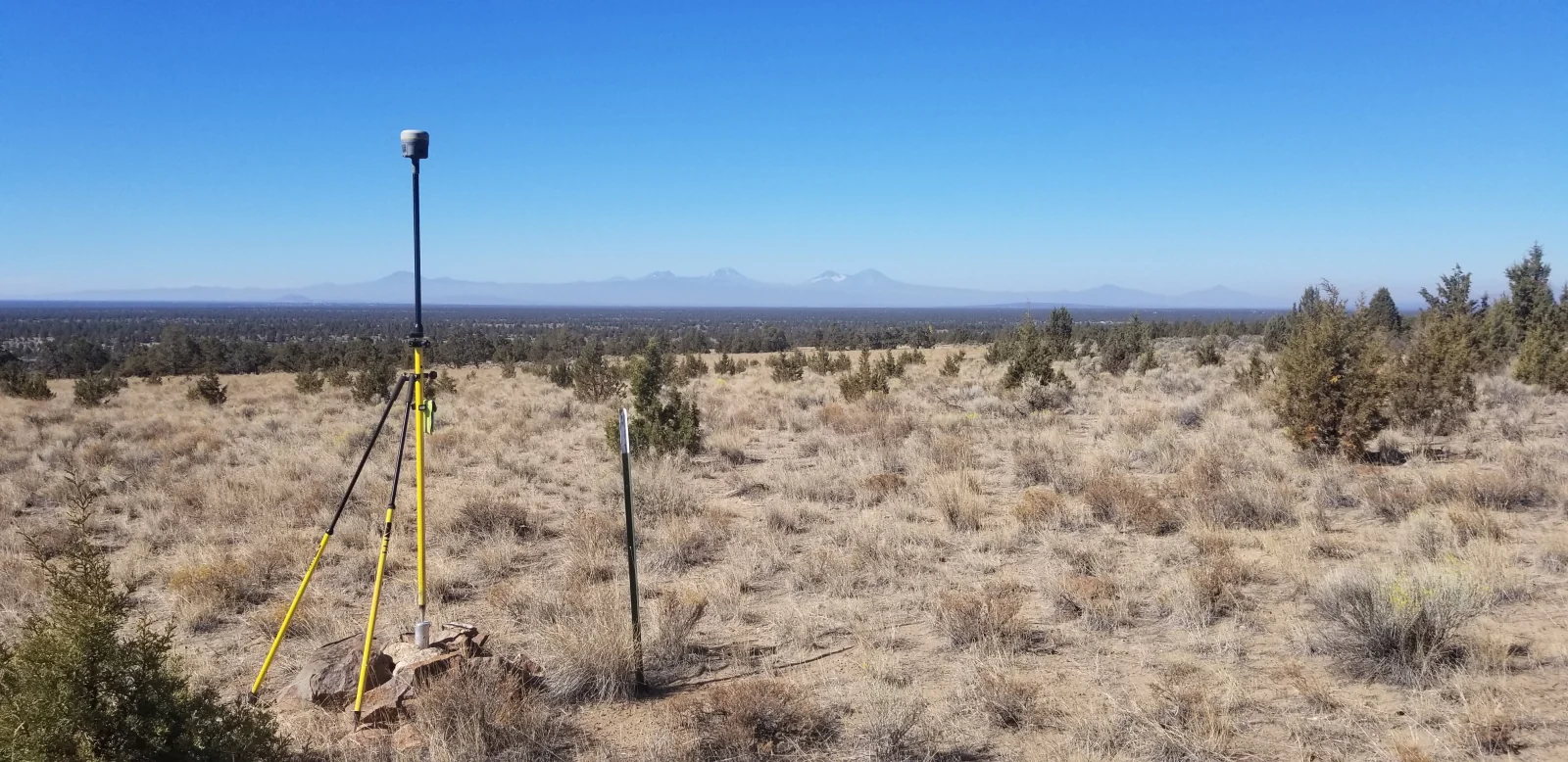
Our tools have evolved from chains and transits to sub-centimeter GPS, robotic total stations, and mapping drones that can survey hundreds of acres in a single flight. The technology is new. The standard is the same one we have held since 1927.
Continue Exploring
Write the Next Chapter With Us
Your project becomes part of our story. Let's get started.
Start Your Project