Agriculture Surveying
Plan your next improvement with a clearer picture of your land.
The challenge
A new fence, an irrigation upgrade, or a land purchase needs more than an acreage estimate. Unclear boundaries and missing elevation or ditch information make it harder to plan the work.
How we help
Connect your property lines, terrain, and water infrastructure.
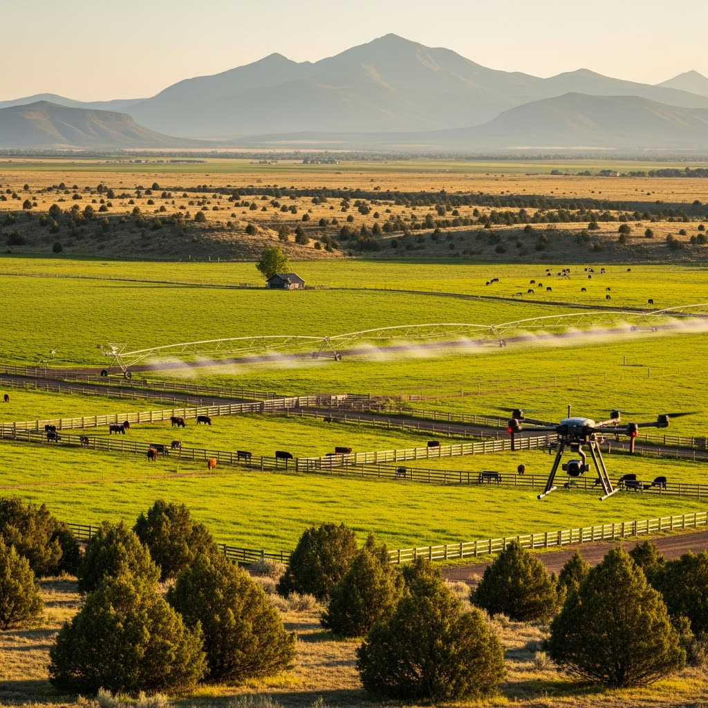
Povey & Associates maps boundaries, irrigation infrastructure, and ground elevations across Central Oregon farms and ranches. Field surveys and aerial mapping give you, your irrigation team, and other advisers a measured base for fence placement, improvement planning, and water rights documentation.
Services for Agriculture
Surveying solutions tailored to agriculture projects
Land Surveying
Clarify fence and property boundaries, map irrigation features, and provide survey information for water rights documentation.
Explore Land SurveyingDrone Services
See the whole property with aerial maps and elevation data that help your team assess drainage and plan improvements.
Explore Drone ServicesConsulting & Mediation
Get a clear explanation of conflicting boundary evidence and help working through a disagreement with a neighboring owner.
Explore Consulting & MediationAgriculture FAQs
Tell us what you want to improve.
Share the property location, approximate acreage, and your plans for fencing, irrigation, or a land purchase. We can help define the survey work.