POVEY & ASSOCIATES DRONE SERVICES
OF CENTRAL OREGON
The Power Of Flight + Generations of Surveying Experience
Drone services improve efficiency, increase accuracy and reduce redundancies across industries and sectors.
CLICK ON ANY INDUSTRY FOR MORE INFORMATION
__________________________________________
__________________________________________
__________________________________________
_________________________________________
_________________________________________
YEARS SURVEYING IN OREGON
%
CLIENT SATISFACTION
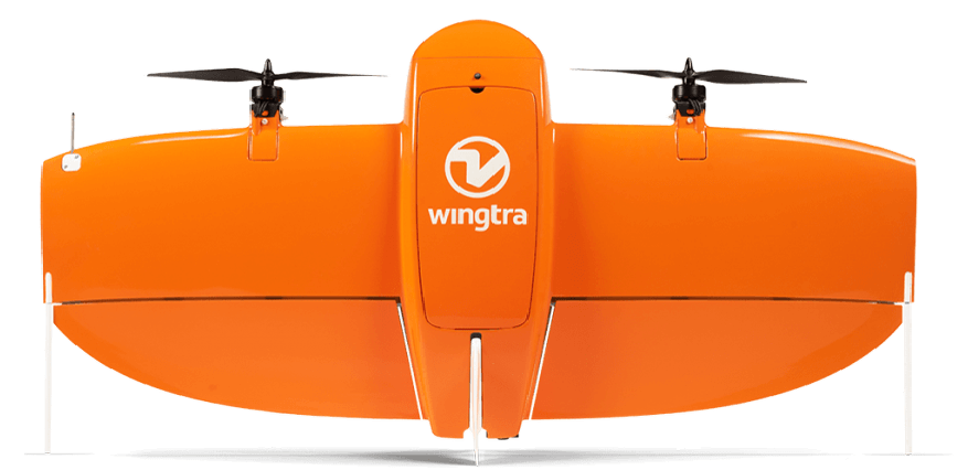
MEET THE WINGTRA ONE MAPPING DRONE
ACRES COVERED
FAA LICENSED UAS PILOT
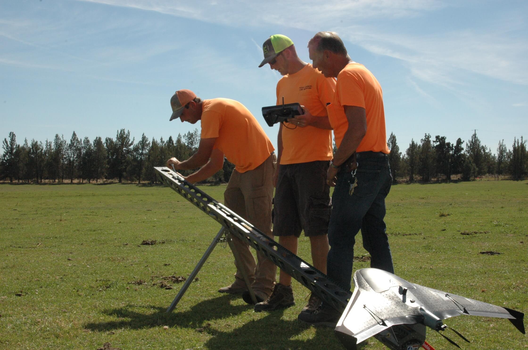
Povey & Associates drones are flown by a FAA Certified & Licensed UAS Pilot with years of surveying experience, hours of live flights and an investment in continuing education.
Povey & Associates Drone Services is licensed and certified under FAA Part 107 as well as being insured to provide drone services.
USA DOT FAA #3920299
MUNICIPALITIES
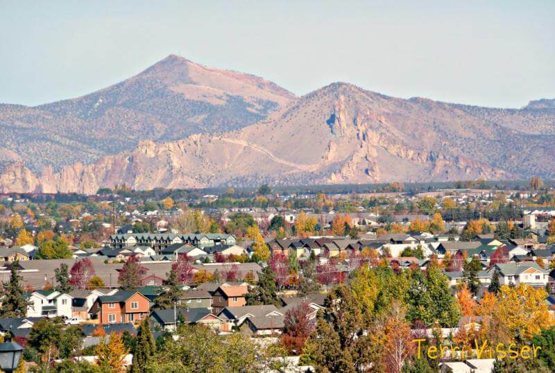
Using fixed wing drones, municipalities can view their cities, outlying areas and overall topography in a new way. Partner with Povey & Associates Drone Services to:
Document growth
Identify roads requiring repair
Determine extent of snow removal needed before dispatching crews
Monitor trees and terrain
Perform exterior building inspections
Assist in Code Enforcement
Assess storm damage
We provide highly precise data, rapid deployment, emergency response capability and operational effeciencies to cities, towns, rural areas, counties and municipalities in Deschutes, Jefferson and Crook County.
SEE YOUR WORLD LIKE NEVER BEFORE
By combining a robust and highly user-friendly system with one of the industry’s most powerful and accurate cameras, we take surveying to new heights.
Our WingtraOne Mapping Drone sets the standard in:
Mapping
Surveying
Measuring
Povey & Associate Drone Services combines generations of surveying experience with the power of flight to improve efficiency, increase accuracy and reduce redundancies across industries and sectors.
FLIGHTS
GET TO KNOW THE WINGTRA ONE
MINING
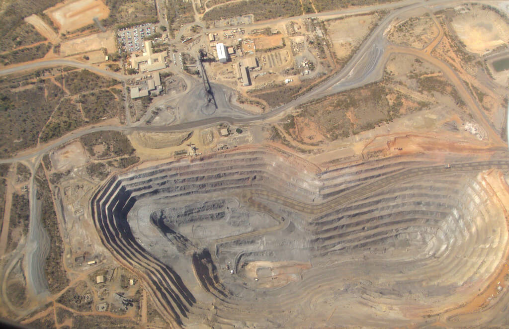
Povey & Associates Drone Services provides data based on quantities of the material removed, eroded or changed over the course of time. This includes:
Stockpile tracking
Material removal tracking
Accurate terrain models
We produce large and accurate data sets in just a few hours without the need for externally sourced imagery.
IMAGES CAPTURED
LAND SURVEYING
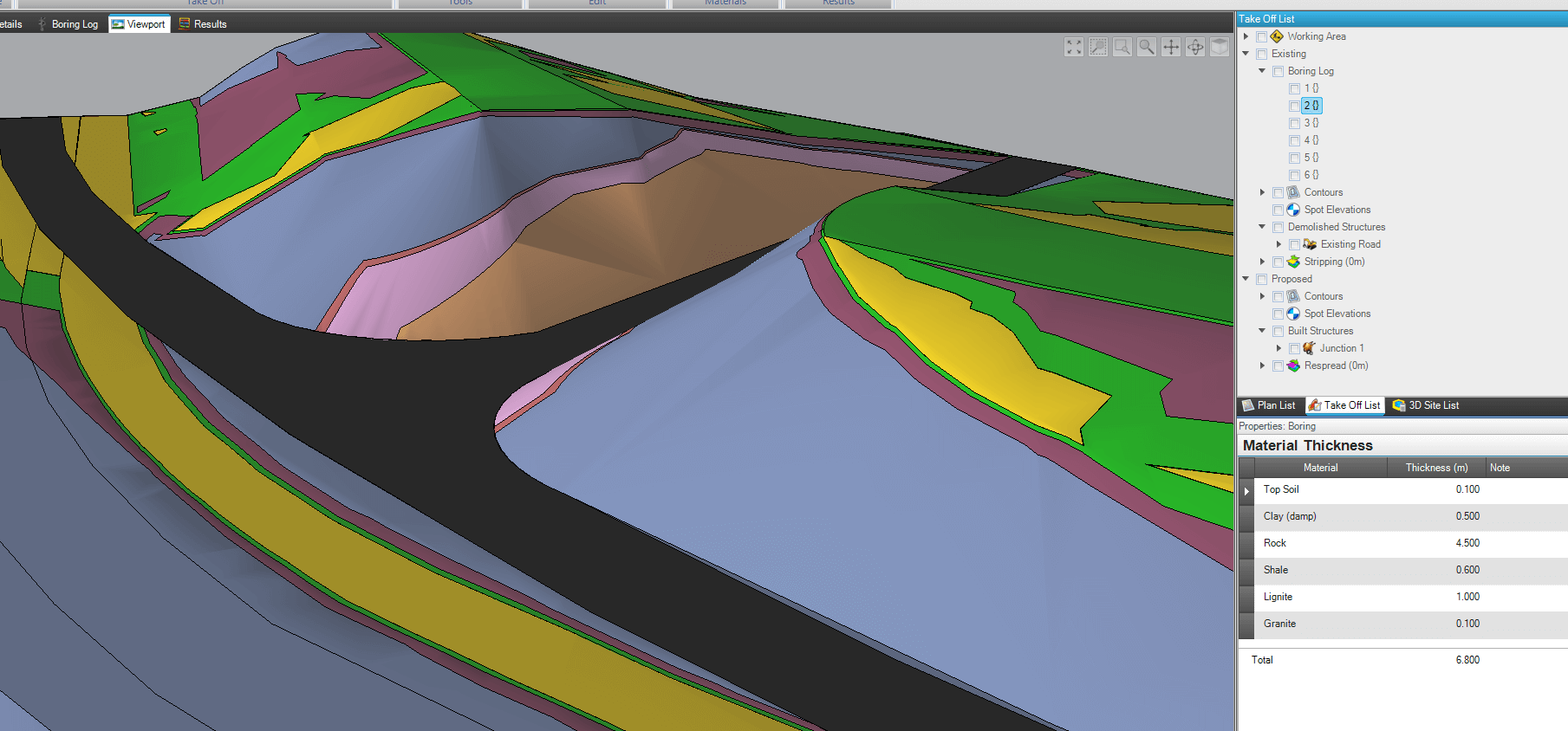
Our drones provide a safer, more cost effective way to collect data in a variety of rugged environments that might otherwise be impossible to collect.
A seasoned surveyor and licensed FAA UAS Pilot can:
Acquire geo-refenced digital aerial images with sharp, clear resolutions
Provide precise measurements
Create maximium return on your investment
Be cost effective & time efficient
Reduce the time spent on each project with one quick flight to collect millions of data points for multiple uses.
AGRICULTURE
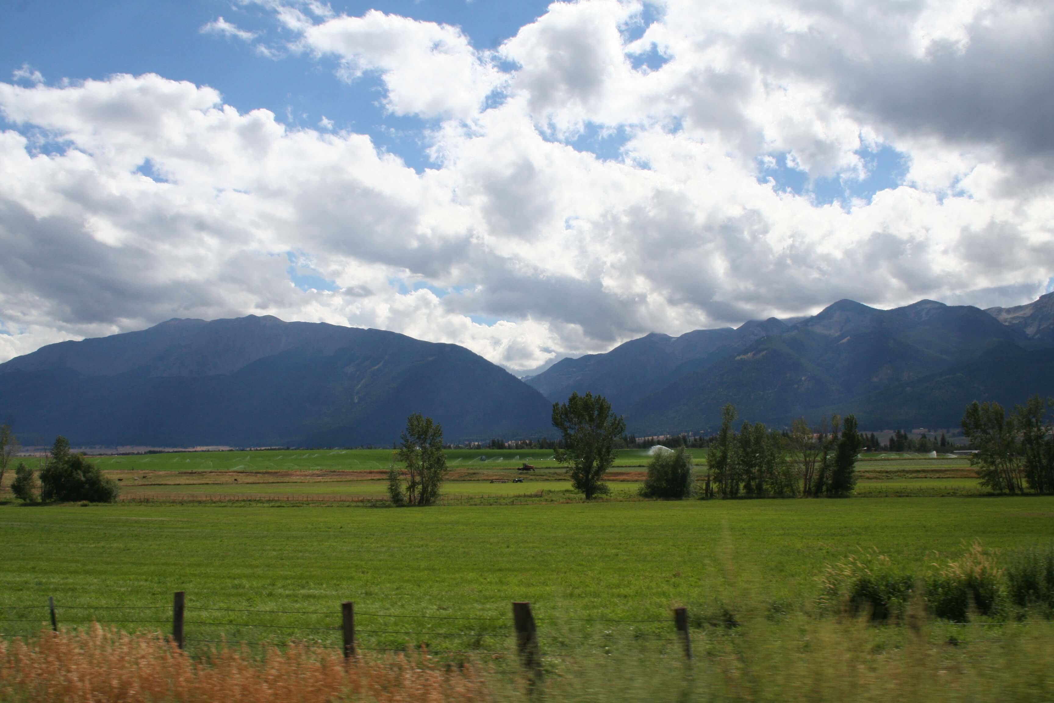
Povey & Associates Drone Services is indispensable to farmers and ranchers. Incorporating drones assists our agricultural community with:
Topographical survey
Crop Management
Maximize water capture
Ranch Management & Restoration
If you are considering incorporating drones into ranch, farm and livestock management, Povey & Associates Drone Services has flight solutions for you.
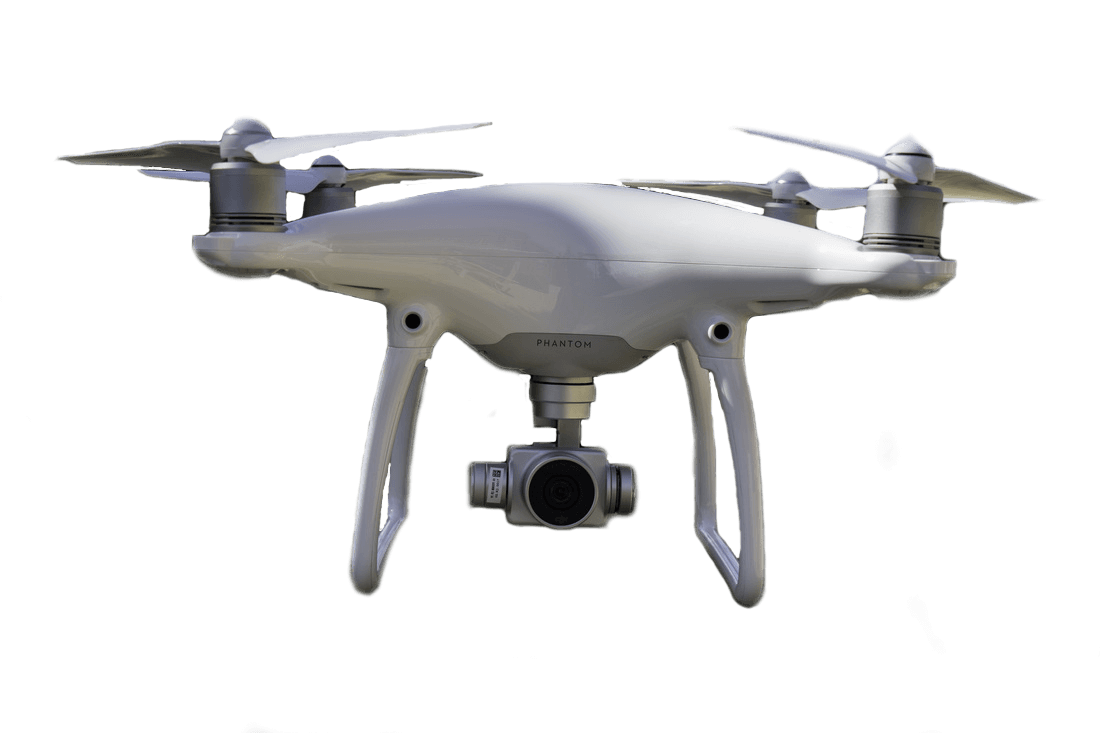
OUR NEWEST PHANTOM 4 PRO QUADCOPTERS

BUILDERS & CONTRACTORS
Povey & Associates Drone Services provides the best way to:
Track job progress
Conduct job site surveys
Create a visual history of a project
Measure excavation in volume, width, and distance
Manage aggregates, equipment, roads, and structures with easily identifiable imagery.
Work with a licensed surveyor and licensed FAA UAS Pilot to schedule regular drone flights to provide up to date reports with essential imagery to help keep projects on track and under budget.
AGRICULTURE
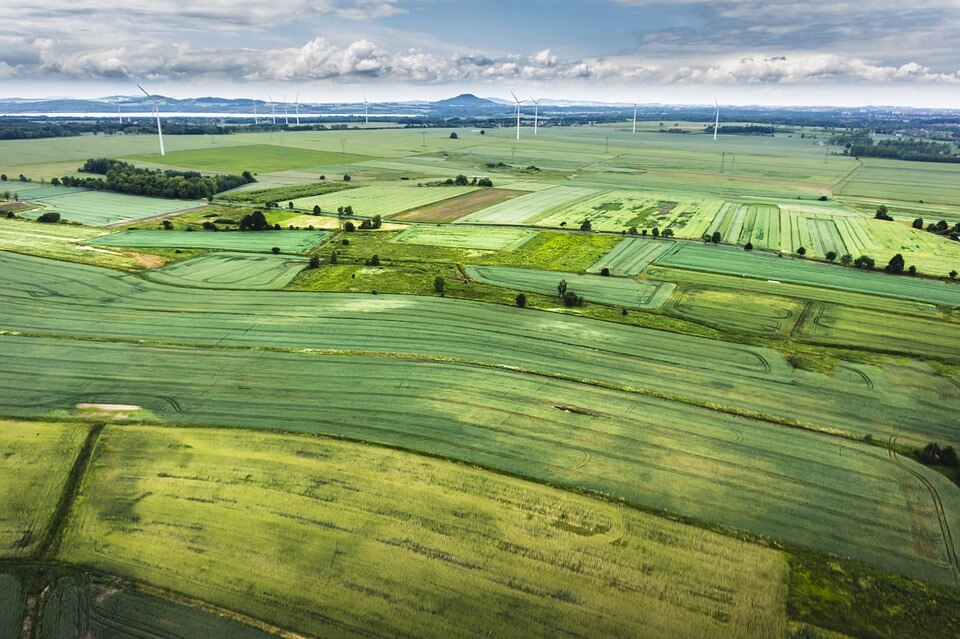
Povey & Associates Drone Services is indispensable to farmers and ranchers. Incorporating drones assists our agricultural community with:
Planting Patterns & Soil analysis
Livestock and Herd Health
Locate and muster stray livestock
If you are considering incorporating drones into ranch, farm and livestock management, Povey & Associates Drone Services has flight solutions for you.
MUNICIPALITIES
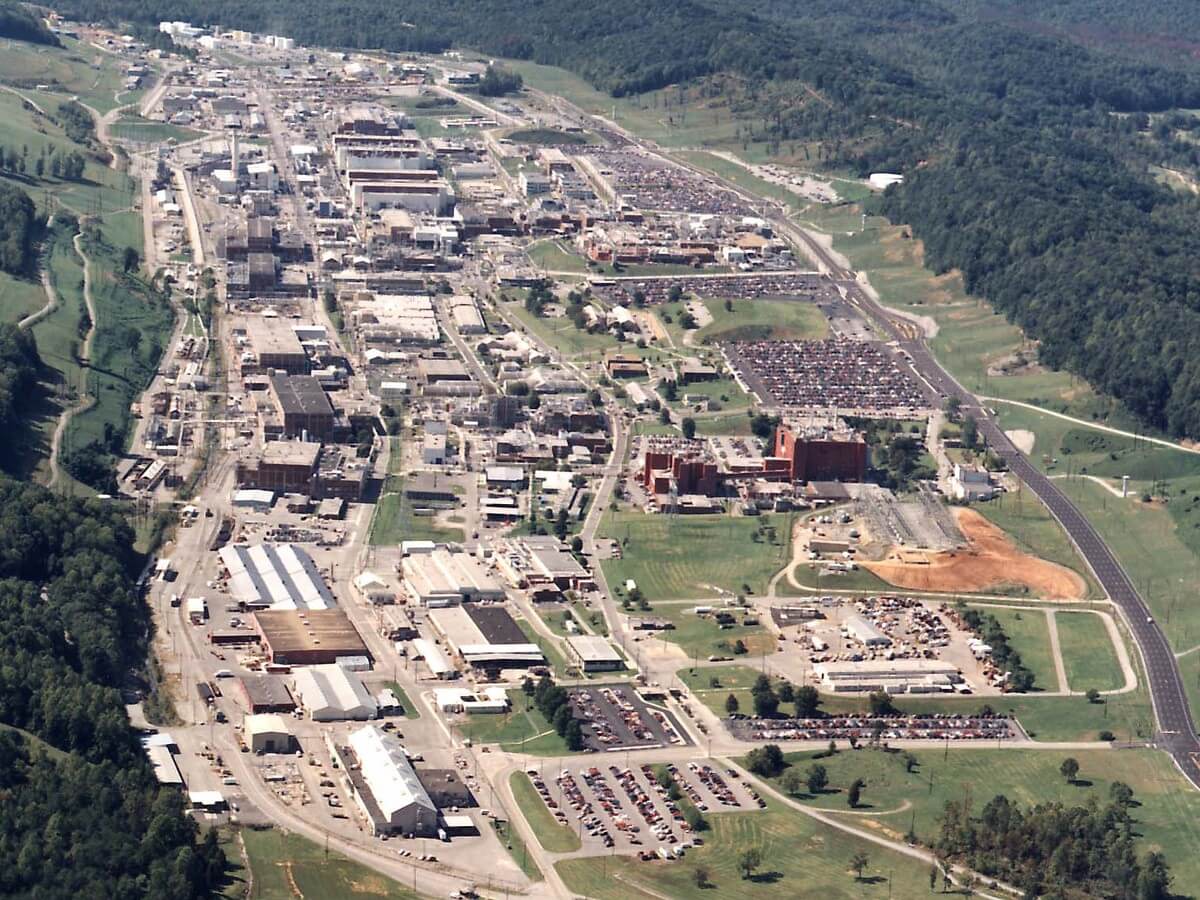
Using quadcopter drones, municipalities can view their cities, outlying areas and overall topography in a new way. Partner with Povey & Associates Drone Services to assist with:
Search and Rescue
Law Enforcement & Fire Rescue
Investigation and Training
Thermal Imaging
We provide highly precise data, rapid deployment, emergency response capability and operational effeciency to cities, towns, rural areas, counties and municipalities in Deschutes, Jefferson and Crook Counties.
PHANTOM 4 PRO QUADCOPTERS
Meet our newest additions, twin Phantom 4 Pro Quadcopters.
360 degree views
Still images or video
20 MP camera
Single shot, burst mode, and time lapse with HD quality.
REAL ESTATE
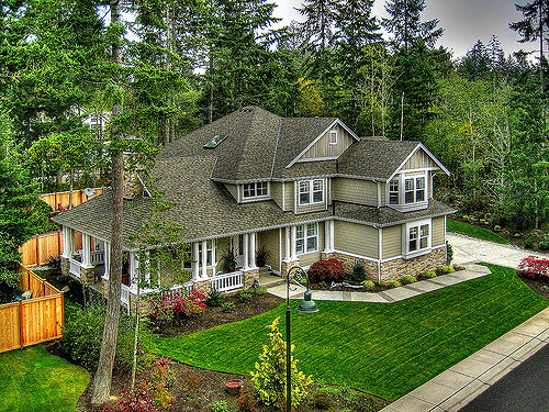
Povey & Associates Drone Services creates virtual exterior tours of lots, land, ranches, farms and estates.
Improve the sale-ability of residential and commercial real estate and reduce the days-on-market time with a 360 degree, birdseye view.
GET TO KNOW THE PHANTOM 4 PRO
EMERGENCY RESPONSE
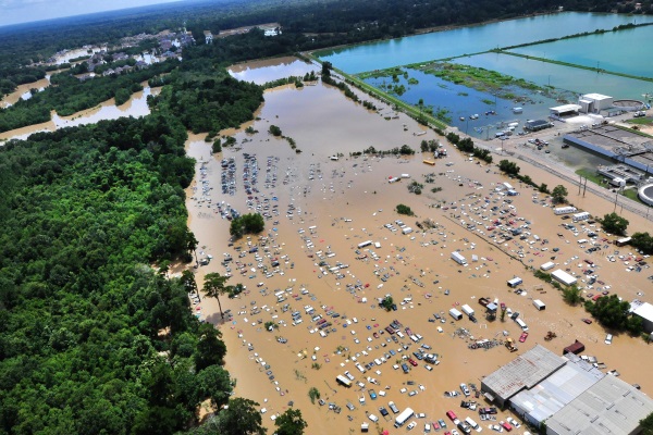
Povey & Associates Drone Services can fly into dangerous situations to perform risk assessment and guide first responders
Instant visual feedback
Protect Police, Fire, Search & Rescue
Functionality in tight, dense or dangerous areas
Reduce safety risk to first responders
View photos or video of incident or situation in real time
Povey & Associates Drone Services assists in emergency situations that may include missing persons, crowd control, fire support, natural disasters, and ground pursuits. We help you:
See what’s happening before deploying
SAFETY INSPECTION
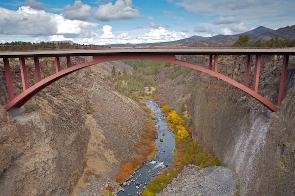
Povey & Associates Drone Services provides a safer, faster, more convenient, and less expensive way to inspect powerlines, cell phone towers, windmills, dams, railroads, transmission towers, smoke stacks, and bridges.
Roofing and HVAC contractors can add another element to pre-bid packages using visual inspections done with drone flights.
Easily spot signs of fraying or corrosion
Monitor expansion joints, bolts and seals
Inspect vertical walls in mines, pits, roads, tunnels
Conduct preventative inspections of flare stacks, pipelines, spills & damage, along with viewing and managing critical equipment efficiently and effectively providing detailed imagery.
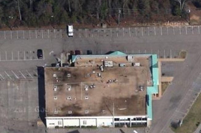
INSURANCE
Povey & Associates Drone Services
Streamline claims adjustment and underwriting
Assist adjusters with aerial inspection
Collect necessary data and imagery
Commercial and residential roofs inspections
Povey & Associates Drone Services to accurately assess the damage and begin claim reporting
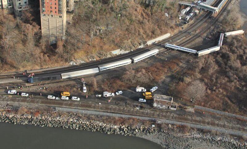
ACCIDENT INVESTIGATION
Accident investigations, damage assessments, liability determination, cause of action and point of origin can be made easier to ascertain from another perspective. Consider adding a drone to your investigation team for:
Instant visual feedback
Functionality in tight, dense or dangerous areas
Viewable photos or video of incident or event in real time
When you need another perspective on accident investigation, Povey & Associates Drone Services is here to help.
OFFICE PHONE
(541) 548-6778
FOR RAPID RESPONSE IN TIME SENSITIVE SITUATIONS
CALL PAUL POVEY
(541) 480-2690
MAILING ADDRESS
P O BOX 131
REDMOND OR 97756
Call or email us for survey solutions
POVEY & ASSOCIATES
DRONE SERVICES OF CENTRAL OREGON
Click on any industry for more information
REALTORS. DEVELOPERS.
________
RANCHERS. FARMERS. MINERS.
________
SAFETY INSPECTIONS.
________
ACCIDENT INVESTIGATION.
________
MUNICIPALITIES. INSURANCE.
________
YEARS SURVEYING IN OREGON
%
CLIENT SATISFACTION
The Power Of Flight
+
Generations of Surveying Experience
Drone services improve efficiency, increase accuracy and reduce redundancies across industries and sectors.
ACRES COVERED
IMAGES CAPTURED
FLIGHTS
FAA LICENSED UAS PILOT
Povey & Associates drones are flown by a FAA Certified & Licensed UAS Pilot with years of surveying experience, hours of live flights and an investment in continuing education.
Povey & Associates Drone Services is licensed and certified under FAA Part 107 as well as being insured to provide drone services.
USA DOT FAA #3920299
MEET THE WINGTRA ONE MAPPING DRONE
SEE YOUR WORLD LIKE NEVER BEFORE
By combining a robust and highly user-friendly system with one of the industry’s most powerful and accurate cameras, we take surveying to new heights.
Our WingtraOne Mapping Drone sets the standard in:
Mapping
Surveying
Measuring
Povey & Associate Drone Services combines generations of surveying experience with the power of flight to improve efficiency, increase accuracy and reduce redundancies across industries and sectors.
GET TO KNOW THE WINGTRA ONE MAPPING DRONE

LAND SURVEYING
Our drones provide a safer, more cost effective way to collect data in a variety of rugged environments that might otherwise be impossible to collect.
A seasoned surveyor and licensed FAA UAS Pilot can:
Acquire geo-refenced digital aerial images with sharp, clear resolutions
Provide precise measurements
Create maximium return on your investment
Be cost effective & time efficient
Reduce the time spent on each project with one quick flight to collect millions of data points for multiple uses.

MUNICIPALITIES
Using fixed wing drones, municipalities can view their cities, outlying areas and overall topography in a new way. Partner with Povey & Associates Drone Services to:
Document growth
Identify roads requiring repair
Determine extent of snow removal needed before dispatching crews
Monitor trees and terrain
Perform exterior building inspections
Assist in Code Enforcement
Assess storm damage
We provide highly precise data, rapid deployment, emergency response capability and operational effeciencies to cities, towns, rural areas, counties and municipalities in Deschutes, Jefferson and Crook Counties.

MINING
Povey & Associates Drone Services provides data based on quantities of the material removed, eroded or changed over the course of time. This includes:
Stockpile tracking
Material removal tracking
Accurate terrain models
We produce large and accurate data sets in just a few hours without the need for externally sourced imagery.

AGRICULTURE
Povey & Associates Drone Services is indispensable to farmers and ranchers. Incorporating drones assists our agricultural community with:
Topographical survey
Crop Management
Maximize water capture
Ranch Management & Restoration
If you are considering incorporating drones into ranch, farm and livestock management, Povey & Associates Drone Services has flight solutions for you.
OUR NEWEST PHANTOM 4 PRO QUADCOPTERS
PHANTOM 4 PRO QUADCOPTERS
Meet our newest additions, twin Phantom 4 Pro Quadcopters.
360 degree views
Still images or video
20 MP camera
Single shot, burst mode, and time lapse with HD quality.
GET TO KNOW THE PHANTOM 4 PRO

BUILDERS & CONTRACTORS
Povey & Associates Drone Services provides the best way to:
Track job progress
Conduct job site surveys
Create a visual history of a project
Measure excavation in volume, width, and distance
Manage aggregates, equipment, roads, and structures with easily identifiable imagery.
Work with a licensed surveyor and licensed FAA UAS Pilot to schedule regular drone flights to provide up to date reports with essential imagery to help keep projects on track and under budget.

SAFETY INSPECTION
Povey & Associates Drone Services provides a safer, faster, more convenient, and less expensive way to inspect powerlines, cell phone towers, windmills, dams, railroads, transmission towers, smoke stacks, and bridges.
Roofing and HVAC contractors can add another element to pre-bid packages using visual inspections done with drone flights.
Easily spot signs of fraying or corrosion
Monitor expansion joints, bolts and seals
Inspect vertical walls in mines, pits, roads, tunnels
Conduct preventative inspections of flare stacks, pipelines, spills & damage, along with viewing and managing critical equipment efficiently and effectively providing detailed imagery.

AGRICULTURE
Povey & Associates Drone Services is indispensable to farmers and ranchers. Incorporating drones assists our agricultural community with:
Planting Patterns & Soil analysis
Livestock and Herd Health
Locate and muster stray livestock
If you are considering incorporating drones into ranch, farm and livestock management, Povey & Associates Drone Services has flight solutions for you.

REAL ESTATE
Povey & Associates Drone Services creates virtual exterior tours of lots, land, ranches, farms and estates.
Improve the sale-ability of residential and commercial real estate and reduce the days-on-market time with a 360 degree, birdseye view.

INSURANCE
Povey & Associates Drone Services
Streamline claims adjustment and underwriting
Assist adjusters with aerial inspection
Collect necessary data and imagery
Commercial and residential roofs inspections
Povey & Associates Drone Services to accurately assess the damage and begin claim reporting

MUNICIPALITIES
Using quadcopter drones, municipalities can view their cities, outlying areas and overall topography in a new way. Partner with Povey & Associates Drone Services to assist with:
Search and Rescue
Law Enforcement & Fire Rescue
Investigation and Training
Thermal Imaging
We provide highly precise data, rapid deployment, emergency response capability and operational effeciency to cities, towns, rural areas, counties and municipalities in Deschutes, Jefferson and Crook Counties.

EMERGENCY RESPONSE
Povey & Associates Drone Services can fly into dangerous situations to perform risk assessment and guide first responders
Instant visual feedback
Protect Police, Fire, Search & Rescue
Functionality in tight, dense or dangerous areas
Reduce safety risk to first responders
View photos or video of incident or situation in real time
Povey & Associates Drone Services assists in emergency situations that might include: missing persons, crowd control, fire support, natural disasters, and ground pursuits. We help you:
See what’s happening before deploying

ACCIDENT INVESTIGATION
Accident investigations, damage assessments, liability determination, cause of action and point of origin can be made easier to ascertain from another perspective. Consider adding a drone to your investigation team for:
Instant visual feedback
Functionality in tight, dense or dangerous areas
Viewable photos or video of incident or event in real time
When you need another perspective on accident investigation, Povey & Associates Drone Services is here to help.
POVEY & ASSOCIATES LAND SURVEYORS
OFFICE
Redmond Or 97756
MAILING ADDRESS
P O BOX 131
REDMOND OR 97756
FOR RAPID RESPONSE IN TIME SENSITIVE SITUATIONS
CALL PAUL POVEY
Professional Land Surveyors of Oregon (PLSO) Member

